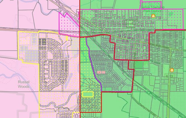
We are excited to announce that DeKalb County’s GIS Department has created a new GIS Mapp for political boundaries. This new feature will allow you to view the County’s local, state, and federal political boundaries. You can also find your Polling Place location and view your specific Elected Officials.
Please click the link to explore the map! https://spatial.dekalbcounty.org/vertigisstudio/web/?app=e01ee8ce3c954e29b9daa936dd106e24